
Troutmap River Maps Montana - Madison River
Details
This map set follows Montana's Madison River along 30 river miles from the Warm Springs Access, north of Norris, to the Missouri Headwaters, north of the town of Three Forks.
9 maps and an area map
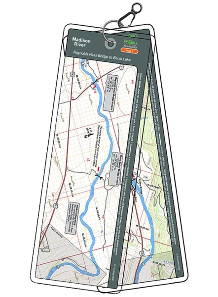
This map set follows Montana's Madison River along 53 miles from Raynolds Pass Bridge, below Quake Lake north to Ennis Lake.
15 maps and 2 area maps
Product Info:
- Laminated and waterproof maps that follow the river channel.
- Individual maps are secured with a stainless steel split ring, and includes a snap hook that allows clipping to a cable retractor on waders or boat.
- Cable retractor is not included
- River features such as rapids, boat ramps, access points, and campgrounds are clearly shown.
- Each map set contains an area map showing the general location of fly shops, shuttles, lodging, fuel and places to eat.
- Approximate size: printed map: 3-3/8 inches by 10-1/4 inches; laminated page: 3-3/4 inches by 10-1/2 inches.